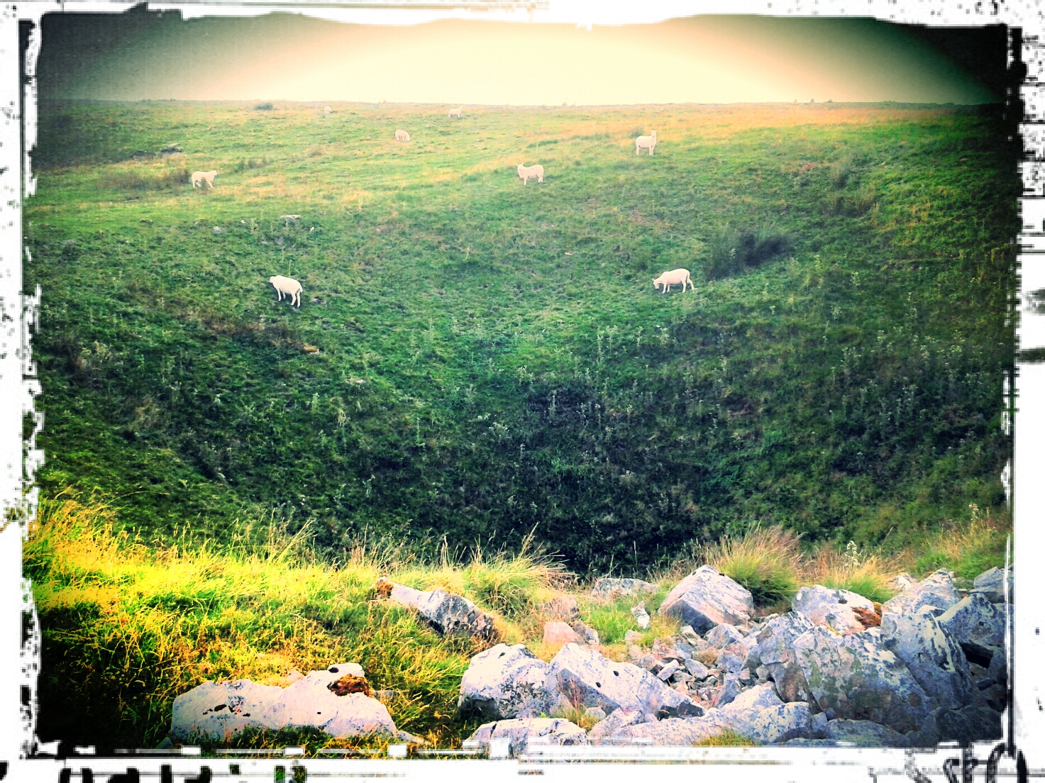
19°C, warm and muggy, then thunderstorms. Very heavy rain all afternoon.
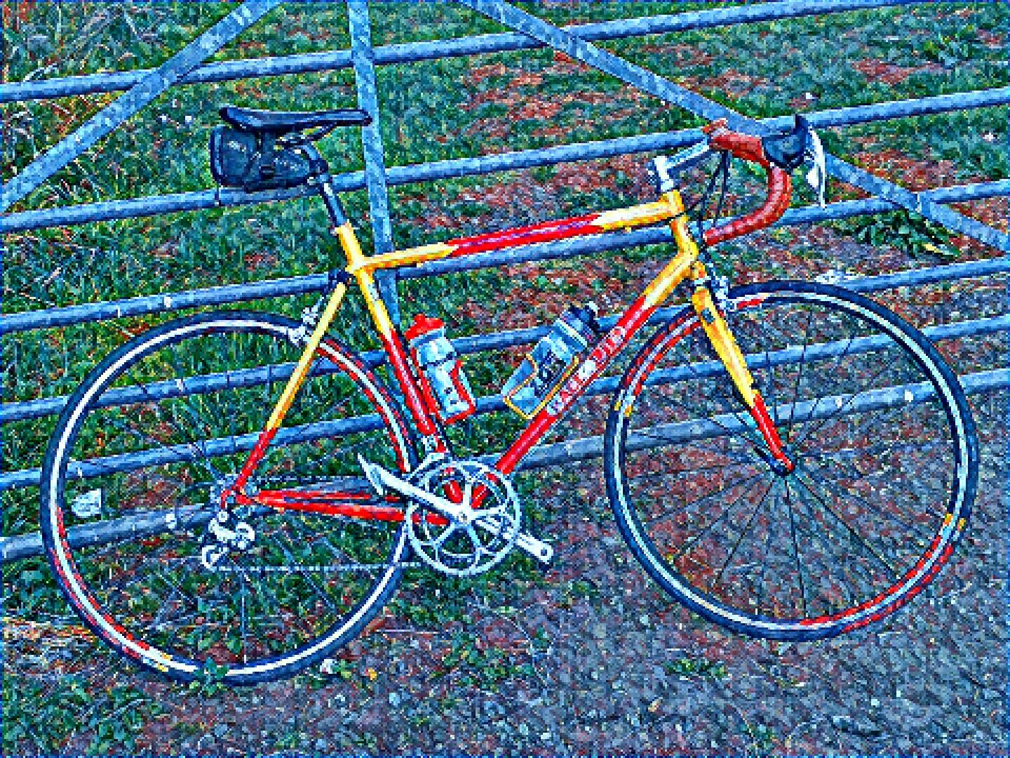
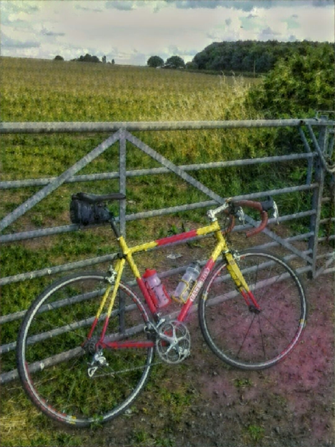
I hiked and scrambled up Tryfan with MapMyRide+! Distance: 4.90km, time: 05:40:00, pace: 69:23min/km, speed: 0.86km/h.
http://mapmyride.com/workout/2341404458
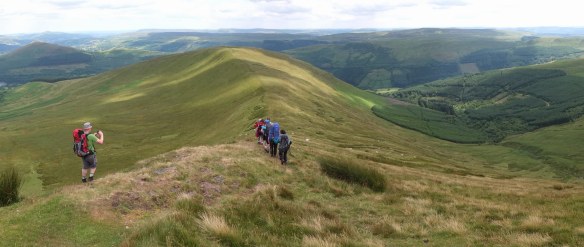
Tryfan’s north ridge was the aim for the day. The route was scrambling all the way with one or two exposed sections (that could be side-stepped). The rocks were all secure for grip and very few moved or sounded insecure. What a fine route.
We also passed the cannon stone about 2/3 the way up. Here was our first photo opportunity. The rock itself has a very coarse grain but was somewhat polished by the numbers of people who’d gone before.
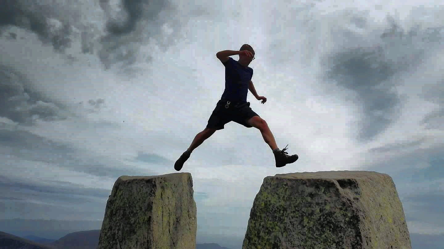
Finally got the standard shot on Adam & Eve, I was the last of three to make the jump, and possibly the most nervous.
We scurried off the peak when the deep booms got louder. Thunder was approaching. The odd flash struck ground miles to the south. A few hundred metres down and large drops of warm water fell around us. It would continue, in waves. Two groups led by Plas-y-Brenin leaders passed by heading down. This point we, decided to abandon Bristly Ridge and the Cantilever. The groups seemed to be mostly girls, none of whom looked cheerful. They were having Type Two fun. Type 2 is the kind of fun you feel after the event. Type 1 is obviously the fun you have at the time. They listened intently.
The day ended at about 5h 50 in heavy but warm rain. We were all soaked with gurgling noises coming from our boots. All the footpaths had turned into small rivers. at least the grip on rocks was still good.