Ogwen Valley, d4

27°C, but seriously hot back in England. The night was warm, no need to get in the sleeping bag.

Very warm and a meteor shower.

Usually, I wake in the night & read for half an hour. This time, I knew about the Perseid Meteor show. I laid out on the grass (with my legs under canvas) and watched. There was one meteor about each minute or two. What I noticed more though was the satellites. Sometimes there were three in a group. If I looked at them via binoculars, there were more in view. It’s half a lifetime ago that I last did this. Back in the 80s, you would see a satellite every 5 minutes, now they are constant.
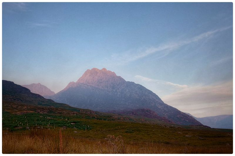
My favourite photo. 06.30 am.

Departure: the coffee (horse) box didn’t open. That’s a shame because I wanted the link to do an glowing online review. Caffi Siabod was a nice second breakfast stop before going home. I sat & drew while waiting for my fry-up.

Arriving in England: the heat grew and became really quite oppressive. I drove the entire way with the Aircon. Normally, I switch it off some of the time; not today.
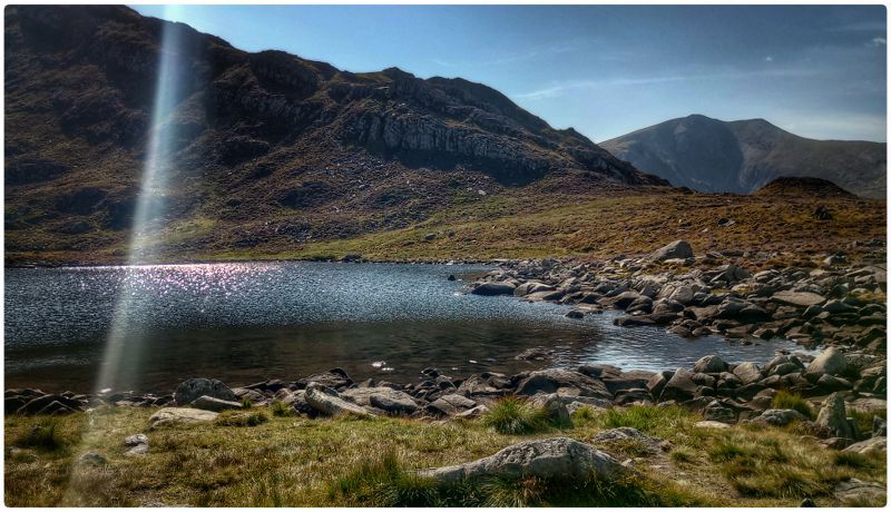
Ogwen valley, D2

Carneddau loop: it’s been 10 years since going on this route. The big difference is the weather. Hot and very dry.

Cwm Lloer

Pen Yr Ole Wen, 1:30 to get up to the first summit. There’s a light scramble half way up and with these dry rocks, it was easy.

Long ridge walk: there was a steady stream of folks heading east. There are good views of Anglesey, the island was laid out like a map held obliquely.

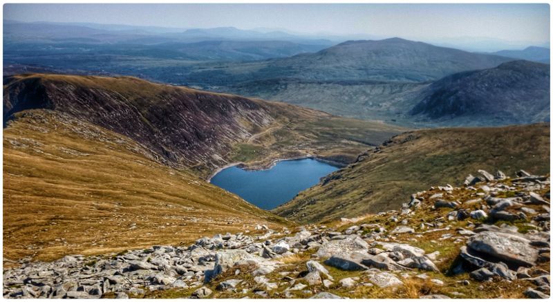
Looking down on the descent.

Tricky descent: without water, I wasn’t in the mood for anything difficult, but there it was. The descent requires a down-scramble about  as tricky as the up scramble by Pen-yr-ole-wen. There were a couple of Welsh guys I’d seen on g off all day. They gave me a half bottle of water which made a big difference. I must admit to being quite stressed by the paucity of water sources up there, it was like a desert.

Ogwen valley, d1

25°C, strong sun & light breezes, very dry

Journey: Why so long? It’s 120 miles by the route I chose but 3½ hours. The M6 was jammed as was the M56. In each, there was no visible reason apart from the density of the traffic. Cotswold shop suggested I phone the campsite because the last person to ask found it full. But they’d rang on a Friday. Say no more.

Gwern Gorf Isaf, Campsite : This has really updated well. There are lots of facilities that weren’t there last time; about 12 years ago. There are electric points to charge devices, the showers are nicely done out and a coffee hut (a horse box). The Caffe has a proper Italian machine and the coffee itself was very good.

Hike: behind the camp, there’s a grassy hanging valley that leads onto the Glyders ridge. The idea was to scope out a location for Wednesday’s eclipse. It’s 1½ hours to get on the col, had a wander around and made the descent East of Tryfan. This is a really good route down and I may use it again.

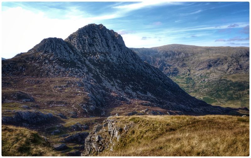
Tryfan from the south east.

Back at camp. The sun was fully visible at the crucial 7pm, it shone along the valley making a hilltop vantage unnecessary. I had the camp to myself that first night.

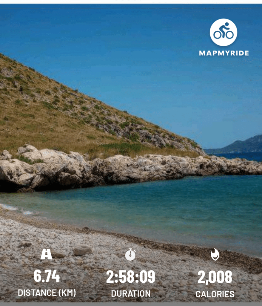
Cala Ciuró, a remote beach in Mallorca.

28°C, light NE, zero cloud.

Es Cala

I set off in the afternoon with 3 litres of water and no clear idea of a destination. A track peels off the road to Formentor so I took it. The path was indistinct and very uneven. Rocks here are sharp broken limestone and in places hidden by coarse grass. It led to a dried up stream and then onto this delightful little pebbly beach.

When I got there, there was a group of muscle men about to leave so I had the place to myself. Then a lovely young french couple from Brittany arrived by the same route as mine. She asked me about the route as they had no map – they’d followed me down.

Then they changed to swim. Such a good idea so I did the same. What an enchanted beautiful place.

NCS: Scrapped.

I thought this would come. The National Citizenship Scheme was set up by PM Cameron in 2011. It has been scaled down over the last five years with the course shortening and centres closing. It has just been announced that the scheme is terminated from the start of the next financial year (April 2025).

That leaves me without a summer job for next August.

DofE 21: Cannock Chase, (Silver practice).

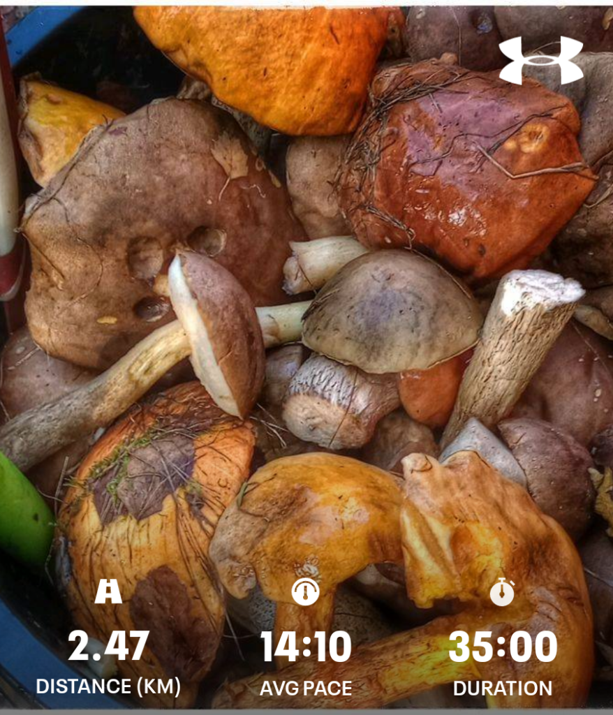
Polish mushroom pickers

Three days, rain then sun.

Day 1, mainly route planning under cover but. We did a walk first before the rain arrived. I got back just in time. The biggest problem arose in the rain. The outside classroom had a decent cover but was open at the sides. The wind blew rain over our maps and pens. Writing route cards was impossible.

Day 2: A day of tricky navigation through the forest.

Day 3, I was up early, then set off for a walk before breakfast into the dark. It wasn’t really dark with all the light pollution from Stafford, Rugeley and Cannock. I could switch off the head torch for some time.

GR20: The reckoning

The expedition has left a legacy for me. In things like sleep habits. The best one is that I lost at least a stone in weight. That’s dead weight I put on after having COVID.

Tendonitis: this came on during the last few days. It doesn’t affect cycling so it may not actually be tendonitis but bursitis (supporting ligaments around the heel). I know from previously having it that healing takes a very long time, probably over a year. Currently I’m I’m often limping. This has been my concern as I was just getting into running.

Sleep habits: waking for long periods in the night.

Fitness: this is the best one, I’m on full form. Cycling is great, speedy and much fun. I had specific muscular strains during the trip. Two I remember most – around my hip during days 4 to 6, and between shoulders during the middle week. The latter was most noticeable on descents, maybe from the heavy pack and looking down for footing at the same time.

D12, GR20 (stage 16): Paliri to Conca (THE FINISH)

Now in the routine. Wake by 5, pack the bag and roll up the tent. Fill water and fix breakfast (macaroni cheese from a dried packet).

All morning, watched over by the eye in the cliff.

Sunrise on the last stage.

Overall, this was a long steady descent. There were some highlights, a nice Boccu, ponds to swim in. But generally, with lowering altitude came higher temperatures.

The best bit was the rock pools on the river. Cascade de Punta Pinzuta. This was the only time I actually swam in a river on the Vignt.

Right at the end, there’s a spring (source) under shady trees. It was most refreshing, especially as there was a German couple doing the same thing. They went ahead and I stopped for another drink and to pee. Doing that, I disturbed a grass snake.