21°C, light SW, sunny but showers threatened. They all missed (until I was home).
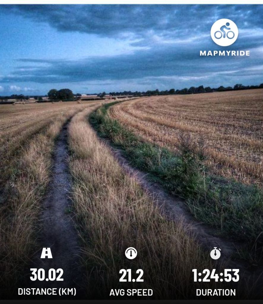
I’ve had quite a few days off the bike. It’s a cold that’s removed my energy. I’ve needed many daytime sleeps. Now I’m back.

21°C, light SW, sunny but showers threatened. They all missed (until I was home).
I’ve had quite a few days off the bike. It’s a cold that’s removed my energy. I’ve needed many daytime sleeps. Now I’m back.
19°C, light NW. sunny set fair.
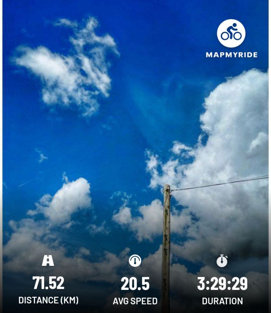
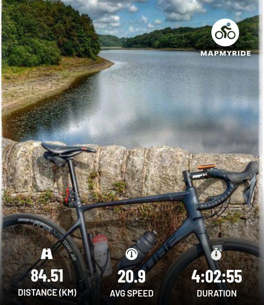
Studio Ghibli skies over Lancashire today.
This last week has been an odd one. I’d set off and ride on but become exhausted at the end. Then, some days have been lethargic so I didn’t go. Today’s ride put that to bed. The above was a good ride despite the low average speed.
22°C, light NW, scattered clouds, refreshing.
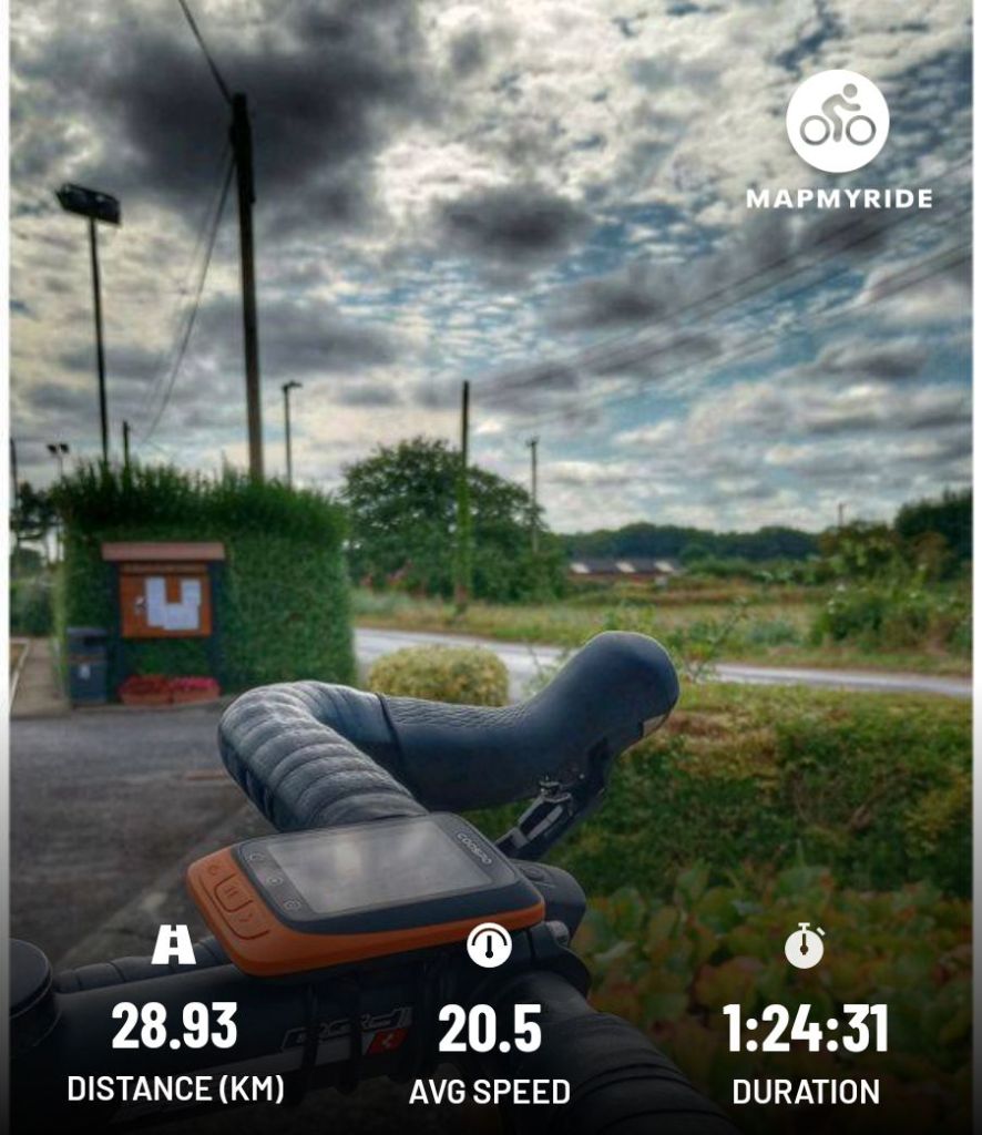
Where’s my energy? I plodded this route with nothing in reserve. Maybe I picked up an infection on my camping trip.
27°C, but seriously hot back in England. The night was warm, no need to get in the sleeping bag.
Very warm and a meteor shower.
Usually, I wake in the night & read for half an hour. This time, I knew about the Perseid Meteor show. I laid out on the grass (with my legs under canvas) and watched. There was one meteor about each minute or two. What I noticed more though was the satellites. Sometimes there were three in a group. If I looked at them via binoculars, there were more in view. It’s half a lifetime ago that I last did this. Back in the 80s, you would see a satellite every 5 minutes, now they are constant.
Departure: the coffee (horse) box didn’t open. That’s a shame because I wanted the link to do an glowing online review. Caffi Siabod was a nice second breakfast stop before going home. I sat & drew while waiting for my fry-up.
Arriving in England: the heat grew and became really quite oppressive. I drove the entire way with the Aircon. Normally, I switch it off some of the time; not today.
Glyders from Capel Currig & an eclipse.
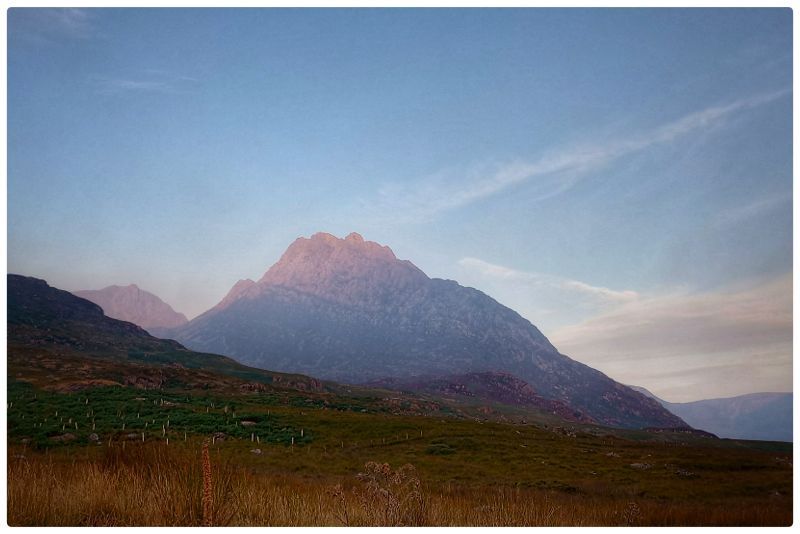
Siabod cafe: I really fancied a breakfast and nice coffee. So I headed down Watling Street (a gravelly track) and found Joe Brown’s shop had a water tap. Anyway, the coffee was good. Then off to the beginning of the Glyders. The climb was long & steady. After an hour or so, the tip of Tryfan peeped up.
Long ridge ascent:
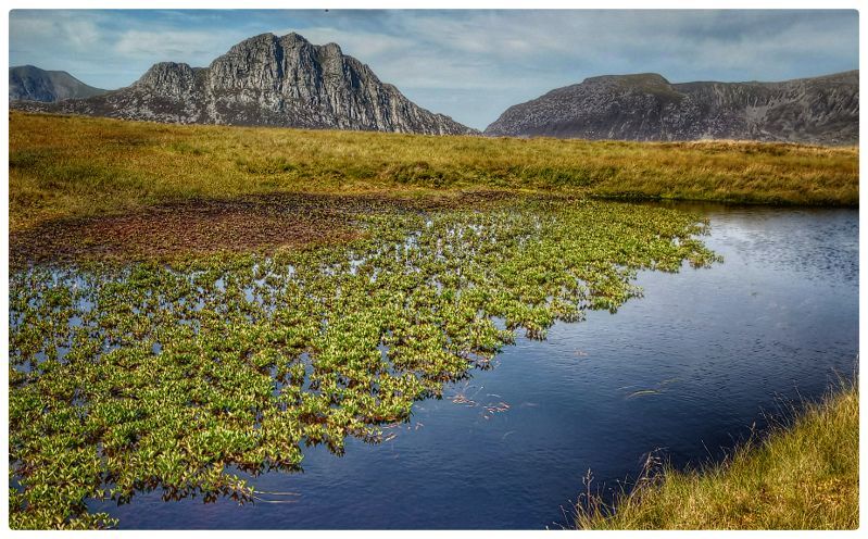
Change of descent path: I asked a passing hiker whether she’d seen water the other side of Glyder Fach. She recommended a descent this side of Tryfan because the descent the other side of Fach is horrible. She’s right so I took her advice.
A spring: there’s a good spring just west of Tryfan on the descent where I got a couple of litres and that saved the day for me. Yesterday was very tough for the last 1½ hours, no springs.
Eclipse: the first notch was visible at 18.05 then it developed surprisingly quickly.
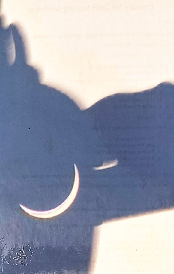
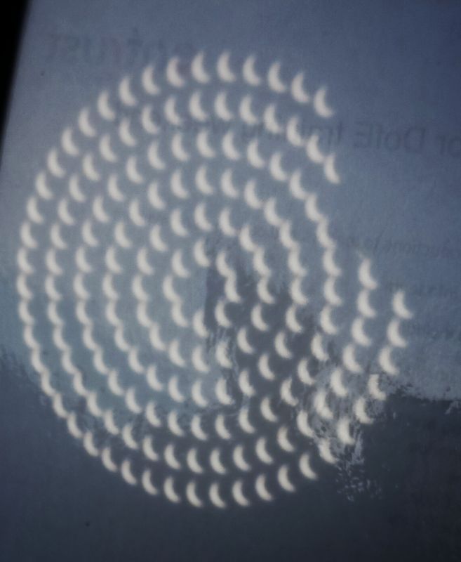
I took this photo to try recording the light on the landscape during the eclipse. There were no signs of nature bedding down, not even the midges came out.
Carneddau loop: it’s been 10 years since going on this route. The big difference is the weather. Hot and very dry.
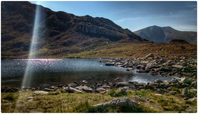
Pen Yr Ole Wen, 1:30 to get up to the first summit. There’s a light scramble half way up and with these dry rocks, it was easy.
Long ridge walk: there was a steady stream of folks heading east. There are good views of Anglesey, the island was laid out like a map held obliquely.
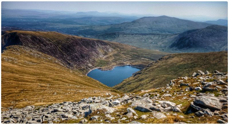
Tricky descent: without water, I wasn’t in the mood for anything difficult, but there it was. The descent requires a down-scramble about as tricky as the up scramble by Pen-yr-ole-wen. There were a couple of Welsh guys I’d seen on g off all day. They gave me a half bottle of water which made a big difference. I must admit to being quite stressed by the paucity of water sources up there, it was like a desert.
25°C, strong sun & light breezes, very dry
Journey: Why so long? It’s 120 miles by the route I chose but 3½ hours. The M6 was jammed as was the M56. In each, there was no visible reason apart from the density of the traffic. Cotswold shop suggested I phone the campsite because the last person to ask found it full. But they’d rang on a Friday. Say no more.
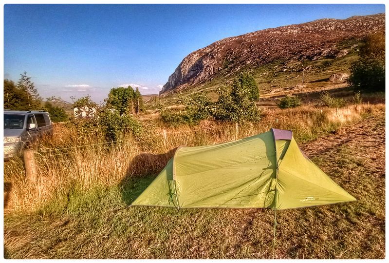
Gwern Gorf Isaf, Campsite : This has really updated well. There are lots of facilities that weren’t there last time; about 12 years ago. There are electric points to charge devices, the showers are nicely done out and a coffee hut (a horse box). The Caffe has a proper Italian machine and the coffee itself was very good.
Hike: behind the camp, there’s a grassy hanging valley that leads onto the Glyders ridge. The idea was to scope out a location for Wednesday’s eclipse. It’s 1½ hours to get on the col, had a wander around and made the descent East of Tryfan. This is a really good route down and I may use it again.
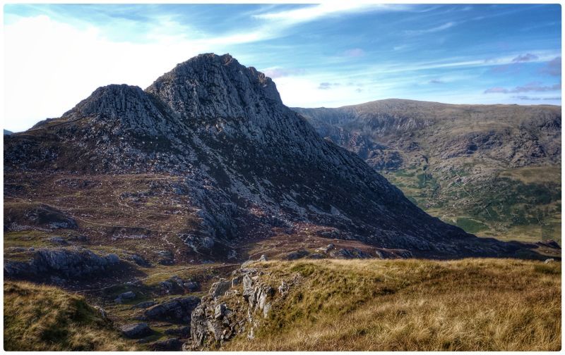
Back at camp. The sun was fully visible at the crucial 7pm, it shone along the valley making a hilltop vantage unnecessary. I had the camp to myself that first night.
22°C, light SW, strong sun.
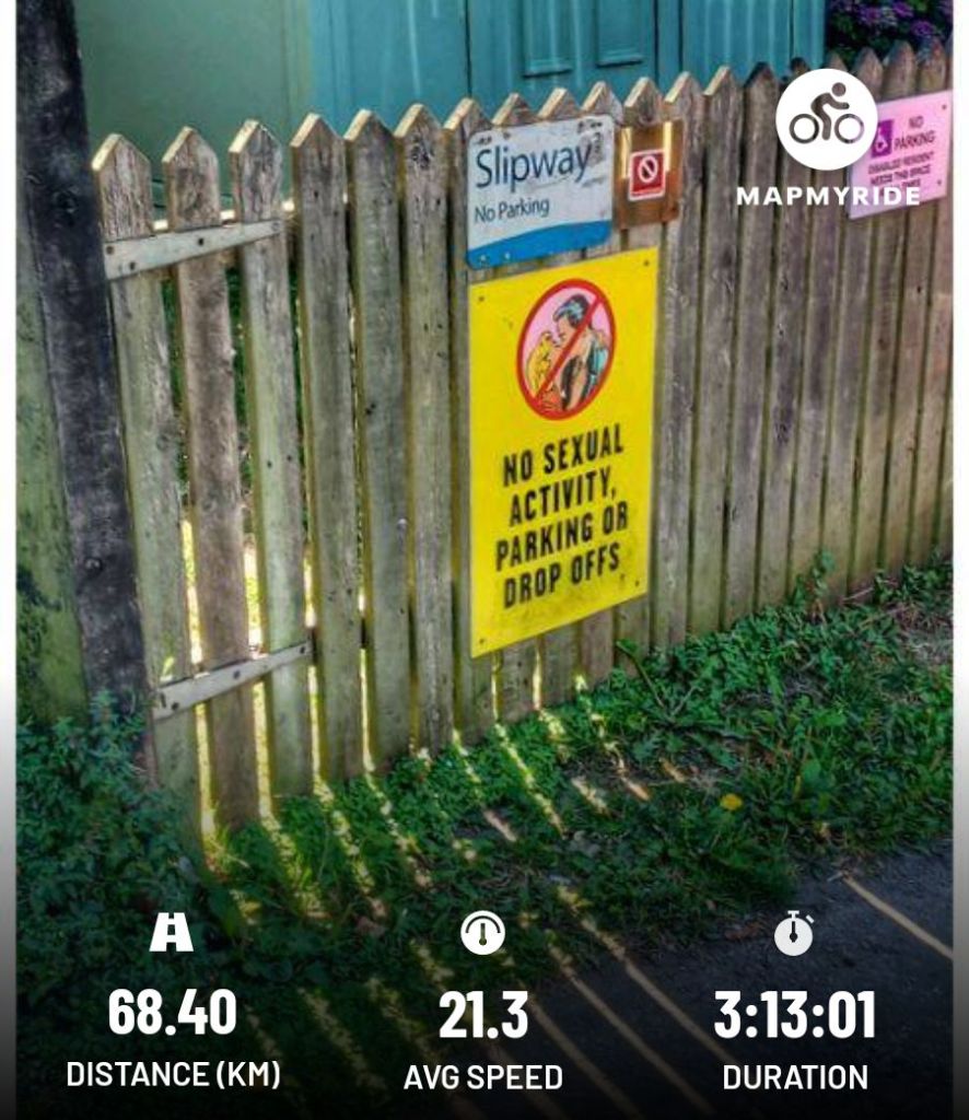
This is turning into a long range week. Nevertheless, my legs said ‘go’. The ride was mixed pace with steady sections.
Anyway, what’s been going on here? There’s a carpark next to the canal. Has there been some ‘digging
25°C, sunny with cloud building, winds light.
More adjustments: tilt the bars down and move the brake hoods up. It seems much better now, numb hands has gone on this relatively long ride.

