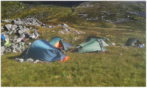
17°C, band of rain cleared to sun.
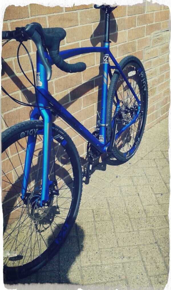
At last, I have it. I’ve brought it up north to ride and make fine adjustments. The bars were too high and the front brake rubbed.
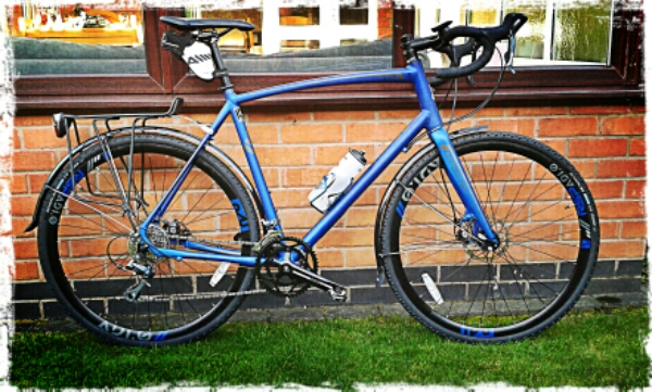
Here it is today with mudguards and the rack. I’ve lowered the bars and the handling is good.
Looking over it, you could summarise it as a top-quality frame with room to upgrade components. Most conspicuously, the wheels are heavy and the chainset is rather basic. Delivered, it has 175mm cranks and even with mud-guards, there is room for longer cranks. Remember, I use 180mm cranks on the older bikes. SRAM do such a crank-set which includes an external bearing bottom bracket.
While in the shop, I picked up a speedo. They pulled out a gps cycle computer from the back. I have posted about it separately.