DofE 1

Cold nights and warm sunny days, bone dry.

The campsite has a shrine!. It even lights up when you walk up to it.

In some ways, spring is similar to last year. Bright, cloudless skies and cold nights. Both nights saw frost on the tent which would have been a problem for all groups. We can’t really expect kids to take winter bags. It’s a shame that he kids can’t camp (due to Covid rules). For many, it’s the best part of DofE. Some will not have camped before and this would be a good way to start.

I’ve made fun of the campsite here, but really, it’s an excellent site. More so when the shower block is finished. There is a railway line next along the camp which often has heavy freighters passing in the night. I noticed these in the first night but not over Saturday night. According to other staff, there were just as many. Few people sleep as well on the first night out.

DofE 17: Dark Peak.

18°C, grey with slight drizzle.

17.0: a day filled with logistics. Google’s satnav took us round the long way to Edale. Then I had to ferry kids from Hope because the coach driver refused to drive to the carpark in Edale. We’re all baffled by his refusal since there are 2 other coaches already there.

17.2: Tuesday – a 15h30m shift on Kinder Scout. Rain and very late groups. 1 group made such a mess of nav that they didn’t get onto the hill and were found in the afternoon – back at the start.

17.3: crossing Ladybower. To a lovely little campsite at North Lees near Hathersage.

Much better day for all groups. They’re getting tired as usual. The overnight camp was basic to say the least. In my opinion, we should stay in the area, within radio range anyway. That way we can get there early and urge them away by 07.30. Their night’s sleep wasn’t enough after Kinder.

I was a little worried about one of my group’s confidence and navigation so I decided to walk halfway with them. It was here that I hit on the idea of a neat nav teaching method. I’ll explain…

If your group has a few navigators and the others trail along, then this might demonstrate how information and observations should flow through an effective group. Sit one kid down with a map; preferably in a hollow so they can’t see much. Others can then take turns giving them information until they can locate the group. Here is a field boundary, this way slopes down, that way is north etc.

I’ve only tried it a few times, but it does seem to work!

17.3: along Stannage Edge. A good geological handrail. After the road crossing, they go up Moscar Moor. It’s a fine place to set up a checkpoint I found. I sat in a hollow the bits where it rained but eventually, the groups brought the sunshine. Some got stoves out and cooked lunch. Others wanted to march through and get back first.

We finished ontime with all groups safely completed. Then logistical problems started. The coach was late again. Part of the M1 was closed, but then again- why did it go on the motorway? Nobody knew.

I was able to get off with my Year 11s easily enough in the minibus. The coach didn’t get the Y10s to school until about 9pm. Outrageous! The staff were livid. That’s the third time the same coach company let us down in a fortnight.

DofE 13 South Downs

22°C, light wind and deep blue cloudless above.

A very long drive down near Brighton. I hope it’s worth it. Heathside has always been brilliant previously, so it will be again.

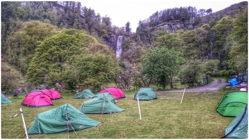
Before the punters arrive, I have the field to myself. Peace and rest after a long drive. Oh, and a good book (The Secret life of Flies).

Day one: Silver expedition is three days of walking and other activities. Day one was eventful with a first aid incident that had awkward effects all day. I had two groups, one of boys, the other- all girls. To start, the boys seemed well equipped and ready to move out early.
The girls, however; were overloaded (one arrived with 18.5kg) but with too little water. One C*, had enough food for a week and many, many changes of clothes (some cotton pieces). Also, their packs did not fit well, but since they were quite tall, the problem was less than usual.

The boys marched on full of energy. They sailed past the turning and headed south. Five groups made this same mistake and I had to rush about turning them around. Bear in mind, they didn’t do Bronze.

Within a few km of starting, one of the girls fell faint in the heat. We’d stopped for a snack, but it was warm, still and very humid. She (N*) couldn’t even sit up and lost all her colour. We were a km from the nearest road at a junction of paths by a golf course. A golfer could see we had a problem and offered to get a golf buggy. I went with N* and sat her in the golf shop while we waited for the minibus.

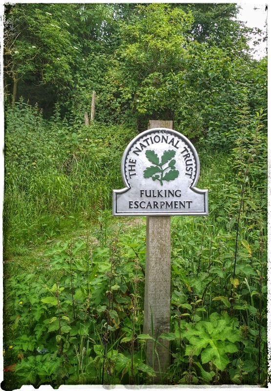
The minibus dropped me off near Fulking village so i could get onto the hill.

The boys’ group were easy to find but the girls were far more tricky. They’d gone south passed the A27 catching feature. On the phone they were into Shoreham., A local had misdirected them away from a path which may have adders. It got to the point where I asked them to install OS-Locate and get me a grid reference. Once I got to this group, I stayed with them for the day- I’m not letting go!

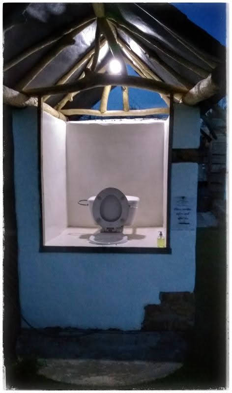
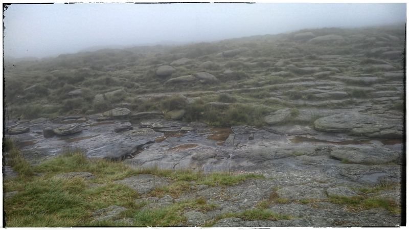
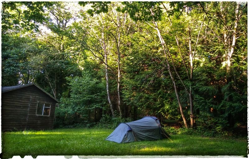
13.2: both groups’ longest day started misty, brewing up for a coming storm overnight. One of the lads was withdrawn for the day with an injury and a teacher had to walk with them to make up the numbers. A misjudgement meant my tent was left at the previous camp. I was told to stay at the same camp because of staff ratios. In the end, the numbers were okay so I could move it to the nice scout camp. All the better because the showers are good. Late finishes are fine, but in a row, tiredness builds. After a shower, I turned in at 11.

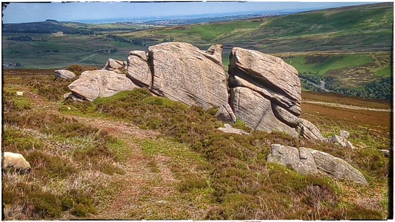
13 2: rain overnight, but I slept through the thunder. Shame because I love a good thunderstorm, especially in the tent. The last day turned into a beautiful day. The kids were hot but got on with it. The girls had a far better day with navigation.

DofE 5; Storm Hannah on the Berwyn range.

5°C, gales and heavy rain all-day.

Thirteen girls on Silver practice. I picked them up this morning and eventually started them off in Corwen, North Wales.

DofE 5.1; I’m taking 3 silver Practice groups to Corwen. Thus turned into a very late finish after compounded problems. The worst was Storm Hannah. We got off with a day of light rain, most of the storm blew out during the morning drive. However, it still sapped the morale of my groups who them went in circles in the woods after dropping down from the Moors. Group 2 was not heard of since the moor top, their radio had failed (I’m told it got wet), and there was no phone signal. By 8pm I was stressed looking for them in the bus while shepherding the other 2 groups into camp.

I should not have had 3 groups to manage but a member of staff dropped out and wasn’t replaced.

They needed some help at camp, one tent lacked pegs for example. At about 21.30, I got away for the 45′ drive back to the staff camp at Pistll Rheadr. See note later#.

5.2: Cadair Bronwyn; head up to the summit via Cadair Berwyn to man a checkpoint.. The storm has cleared with light winds and a cloud base about 1,000m above the tops. Even so, problems arose for group 1 early. One girl returned to the start feeling ill escorted by her team. Thus, team 1 ( who combined with G2) started again to arrive 4 hours late at the summit.

The prospect of another late finish loomed large. I redirected their route away from the 2 summits and refreshed their water supplies. The photo shows the spring I filtered from. An excellent spring I thought. Tasty water too.

To come off the hill, I escorted a walking casualty off the hill, their prime navigator as it happens. Good that they had other good navigators in the now merged team. They can’t travel as a 3 so I merged all three teams into one group of 8.

A colleague offered to drive over and see my group in, he could see how tired I was after that very late finish. I was worried about driving feeling like I did but was despirate to see them. Reluctantly, I agreed.

Apparently they didn’t arrive to camp until 8pm. We got in about 7pm along with another unwell group. That put me on the opposite side of the mountain from my own teams. Deeply unhappy about this, one of the ML guys knew about my 01.30 finish and could see how tired I was. He offered to go over to catch them, along with CH. Two MLs had to go in case a night search was necessary.

5.3: 9km to the finish on relatively low terrain, only 540m top.

#1: I’m going to camp nearby next time. This valley has no signal for any network and there is no landline or VHF reception. This troubles me profoundly. What if there was a first aid emergency in the night? We got away with this, but not again.