22 – 26°C, hot and close, thunder threatened but didn’t materialise.
Qualifying Expedition:
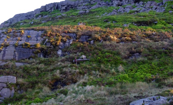
Day 1: very warm and (almost) inevitably, most groups struggled.
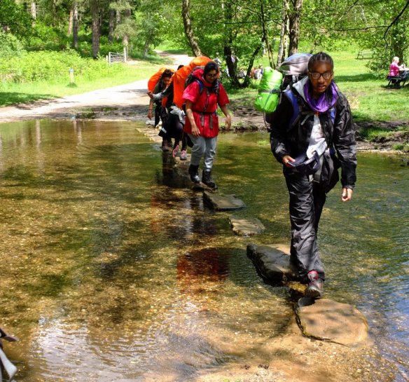
I manned the checkpoint at Weag’s Bridge. Emma and I headed south to intercept and hid near a dry sites crossing. One group went by oblivious to us. We then snuck up on the next group having a sit-down rest. The last group didn’t arrive for ages. We sat by a big tree while we waited. From there, we could see their approach from about 1 kilometer. Eventually, they appeared on the horizon. They didn’t seem to see me sitting in the grass by the side of the track. Even when they stopped for a moment, two of them facing my way. They still didn’t notice me smirking at them.
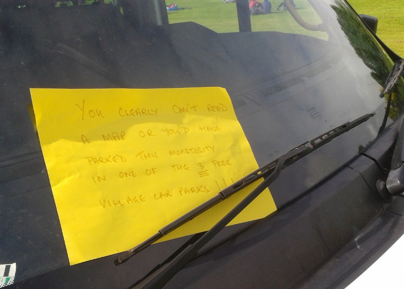
I picked up 3 groups in the minibus. We saw some rather poor navigation decisions during this day. One group circled Wetton village unable to find their route. Problem is, they did their orbits on the road. Overall. The performance this day was quite poor.
Day Two, a Tuesday. Much better, some groups finished quite early and no minibus rescues were needed.
Day 2: Better, no serious mistakes were made and they completed in reasonable time.
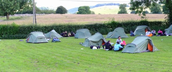
To celebrate, in the early evening we got the fire-pit going and let the kids toast marsh-mellows (sandwiched between chocolate biscuits things).