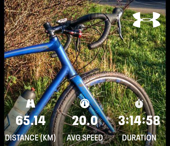
3°C, dry with salty dust on a brisk SSE wind. White cloud.
Feeling stronger now, hardly surprising in this wind with one year to choose from. I’m not complaining, it felt great. I called in at home to shorten the chain.

3°C, dry with salty dust on a brisk SSE wind. White cloud.
Feeling stronger now, hardly surprising in this wind with one year to choose from. I’m not complaining, it felt great. I called in at home to shorten the chain.
9°C, calm, grey and damp.
Climbed Bannister Lane hill, twice. Once the north route and then the Parbold lane route. From the start, I could tell this would be a good ride. I’ve started from a low base since having Covid-19; now I’m building fitness rather than just recovering from that persistent virus.
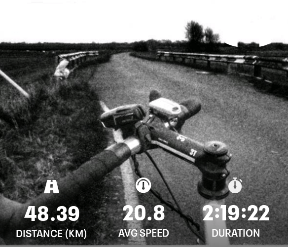
Arrow, 4°C, light W, bright and distant clouds
Getting better each day despite starting from a very low base. In effect, I’ve had a month off thanks to Covid-19. Now muscles are all fizzing like they’ve bounced back from that time off being ill. The year ahead is looking quite uncertain again with the possibility that foreign travel will be difficult this summer. It’s all to do with new coronavirus variations, I’m hoping I have some immunity to the main ones for the foreseeable.
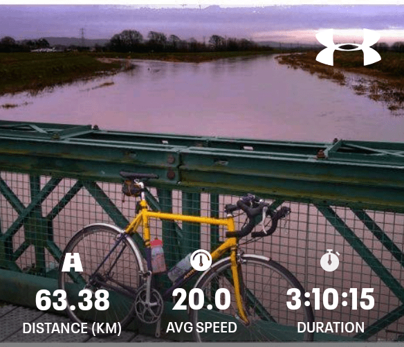
As for cycling, most of the flooding has receded, there are no closed roads now. Croston usually floods so I approached it gingerly. All was clear. There was another noticeable effect I hadn’t anticipated. The last half-hour was hard, I blew up. Perhaps dehydration, but certainly poor form dues to the time off. Nonetheless, my muscles feel tight and it makes me feel stronger. During that illness, I felt terrible after even a gentle ride – all empty inside. that’s a markedly different feeling to normal post ride fatigue.
Each season has its own roadkill. Flooding appears to have brought rats out of their burrows, or sewers or where ever they live. I saw dead rats in 3 different places, big fat rats in the road. They were almost the size of a small cat.
7°C, light W, dry with only traces of ice left.

Rode over to check the house and it felt okay. I’m keeping a sharp eye open for Covid after effects but they’re definitely fading.
+4°C, muddy and damp. Clear sky though.
I’m occasionally venturing out with a knock to my physical confidence. One ride left me empty and exhausted for 2 days – that’s the Covid after effects. This walk was good and left me all warm and refreshed.
4°C, full sun but ice patches remain light NE breeze
This is Cheshire lines which runs up the side of Lancashire. It looks icy but there were no problems with grip. It was a fine day and I was so glad to be out.The muddiest part is by a sewage works and though the puddles look large, the best line is straight through the middle of them. Around there should stink but now it doesn’t. That is a Covid problem – I can’t smell bad things. You’d think that was good, but actualy it’s a nuisance. How can I tell if food is off, or whether a shirt needs a wash?
2°C, sunny with a layer of hailstones.
This is one of my Covid-19 recovery walks. The roads are too icy for cycling this week but I’m itching to get the bike out and can’t – it’s not safe yet.
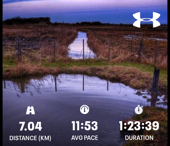
7°C, light NE, no cloud.
A short outing that felt like a real effort, like it does when I’ve had a few days off. November and December have been much wetter this year.
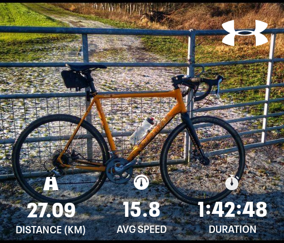
9°C, mist and drizzle higher up. Still.
It felt cold in he damp air today. Nominally, 9°C should be comfortable but not so today. Higher up, near High Moor there was light rain too. I need to fit another water bottle, I was so dehydrated by the time I got home.
Now the speedometer is playing up again. The speed often read double what it should be and he distance was about 30% below. I will have to replace it. This time, it will not be wireless.
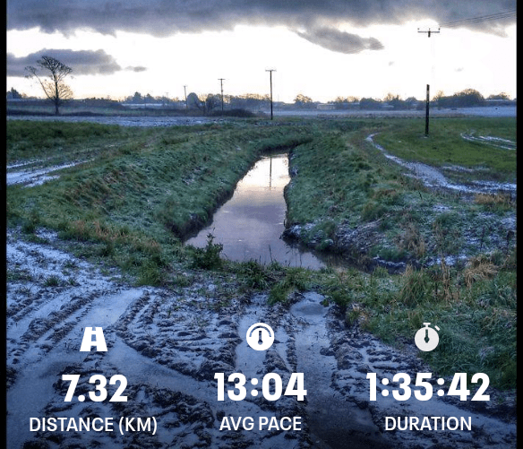
9°C, brisk W
4 days without a ride and feeling frustrated and fidgety. A short blast is such a good way to clear that feeling.
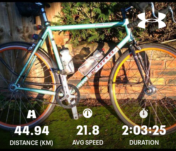
I’ve had an annoying time with repairs not working out well:
The problem is keeping track of how old componants are on bikes when you have 6. It was easier when I only had 2 or 3 bikes. Now it seems like a cluster of repears have come together.