Warm, windy with heavy rain. 12°C, and 16 in sunny spells.
In stark contrast to the previous expedition, we had terrible weather, probably the works DofE weather we’ve ever had. The kids took it on well; in fact better that the A group did on their warm, sunny days. This trip’s whingeing and moaning was conspicuous by its absence. Perhaps the participants’ ability to cope with heat is worse than rain. Since it’s summer, the rain was never cold so those who neglected to bring water-proof trousers got away with it. Practice is a time to find out what to bring and what to leave behind. Only 1 girl was carrying more than 15kg in her bag. It wasn’t obvious what the excess load was but other groups have taken too much or unsuitable food (tins, bottles or liquid food. I suggested that keep one liquid food meal and leave the others in the minibus to take back afterwards.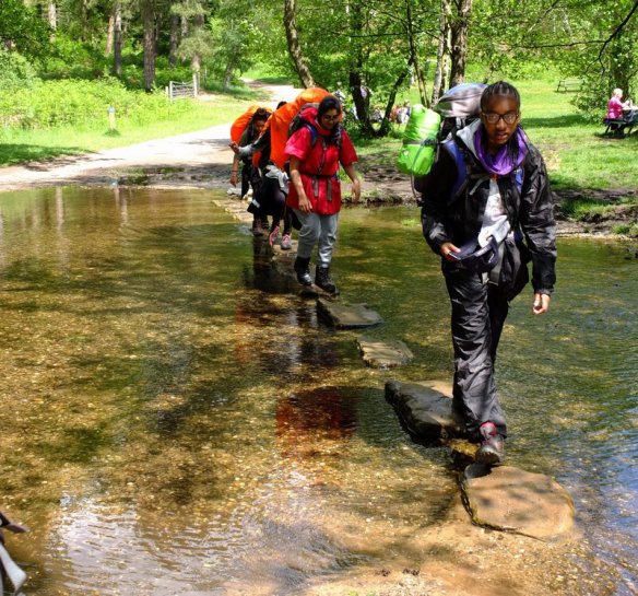
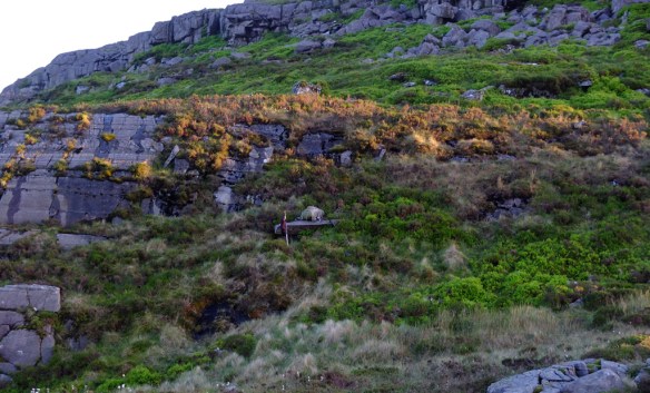
The weather wasn’t just wet, a storm was passing north-east in the Atlantic and that drove strong winds our way. Gusts peaked at 40mph+ threatening our tents. Once we got to camp, I told them to pitch tents with the pointy end facing the wind (west) and be extra-careful with pegs. The ground here is difficult to drive pegs into, there are thousands of round pebbles under the grass and pegs often hit them. If you can manoeuvre the peg round these obstacles, the grip is quite good. once all the groups had finished supper and climbed into their tents to keep dry, I toured round with a rubber hammer.
As I drove pegs in, Dr. D brought me a cup of tea so that I held a cup in one hand and hammered with the other. all this time, heavy rain roared down diagonally across the site. However, it wasn’t cold and I wore full waterproofs.