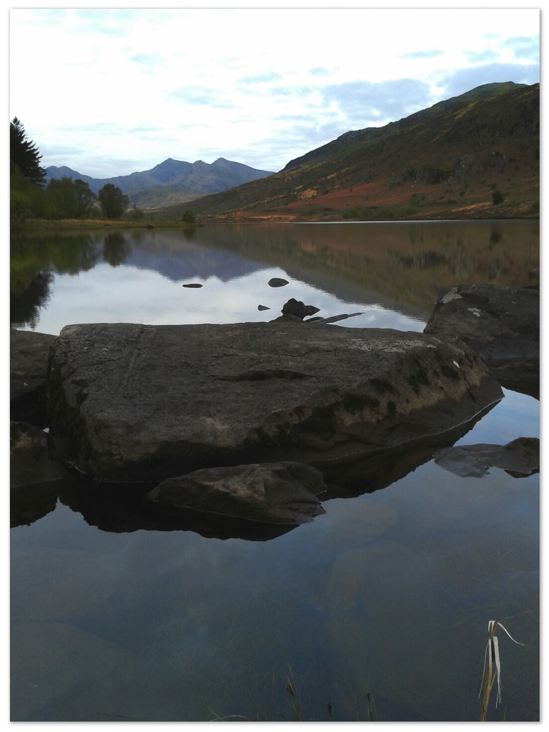
All along the Glyders.

12° to 7°C with moderate wind.
Up at 6 and set off for breakfast at the pinnacle cafe, Capel Curig. Excellent and at a good price too. Bought a pair of summer gloves for days like today. Nice in the valleys but cold aloft. The gloves I really liked were £85! No way!

image

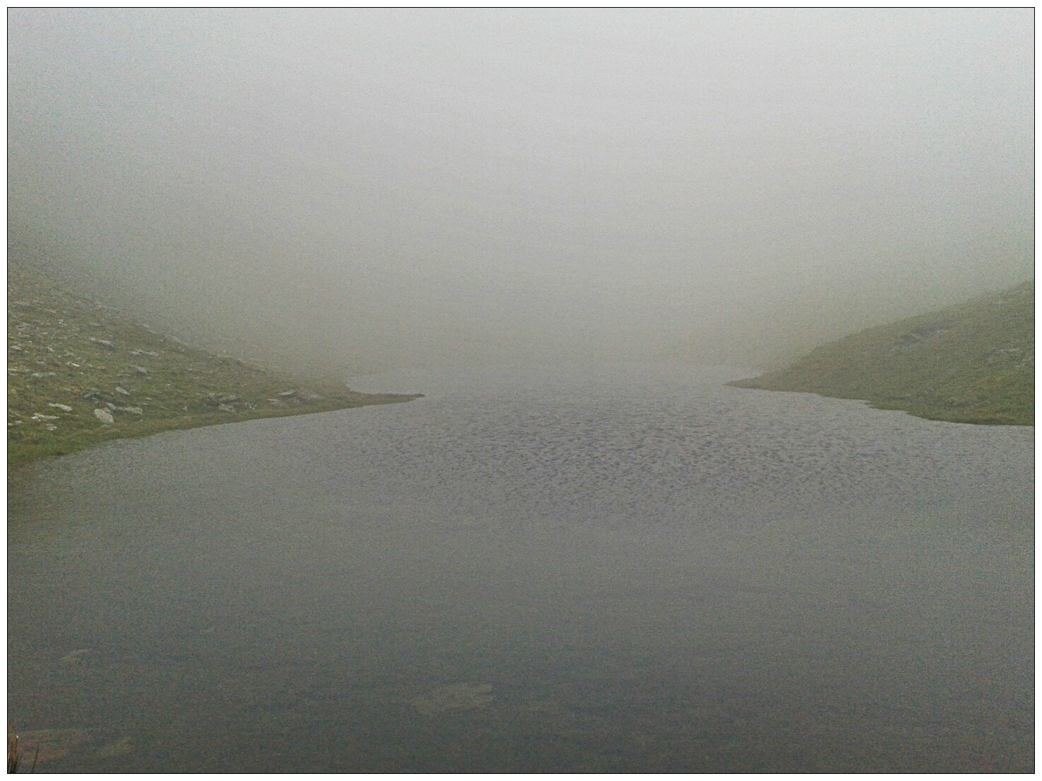
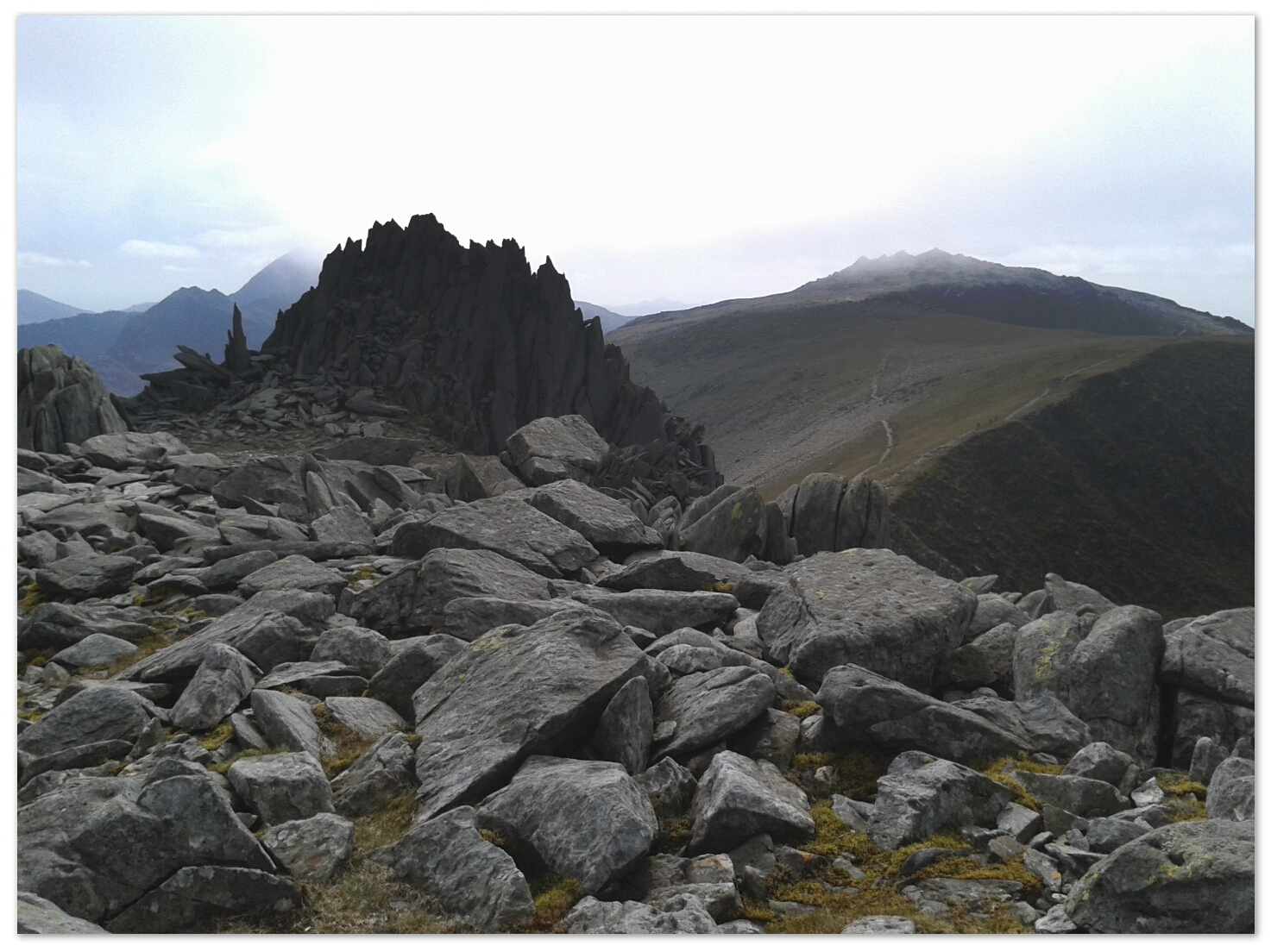
From Capel Curig, I climbed onto the Glyders from the gentle eastern slope. Today was all about walking the length of the range and something good happened as I went along. At each summit, the cloud lifted or even cleared. By the by mid afternoon, the sun was out and the rocks were in sharp relief.
As often on the year’s first proper hike, the descent was quite hard and slow. I came down off the range behind Llyn Idwal. Place have made this ground far easier. Coming off Glyder Fawr was the worst bit with its loose shattered rock on a bed of soil on a steep slope.
I should have some good photos to show off when I get back.

Llyn Ogwen, camp.

18°C, Clear sky, still.
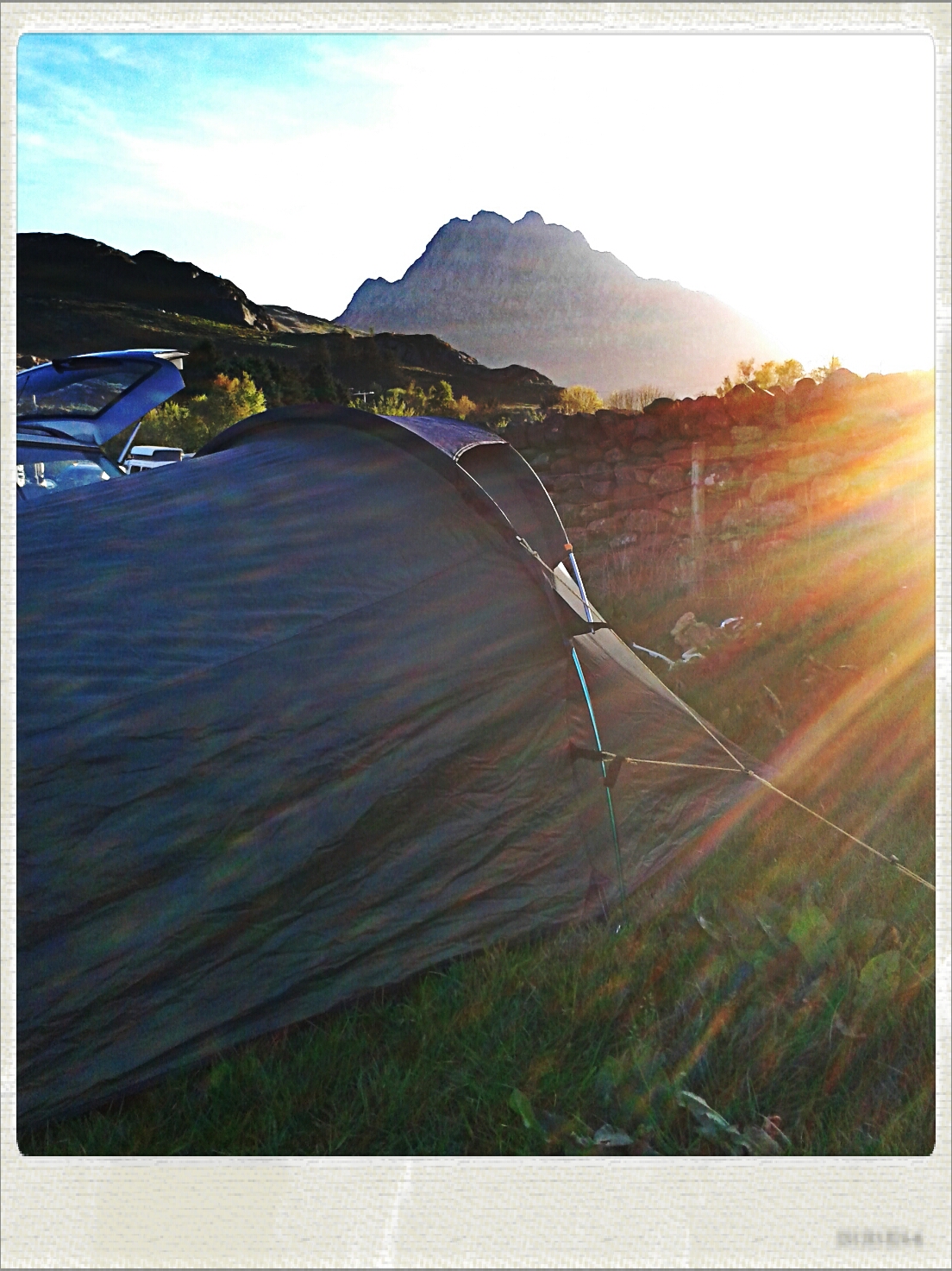
Arrived at the usual Llyn Ogwen camp to find it busy with bank holiday campers. The atmosphere is good though.
Forecast for tomorrow is poor, 5°C at summits and in cloud. Rain all morning, some of it is heavy.
image

200th mile.

11°C, light wind but dull grey.
I rode Cyclocross Jake with MapMyRide+! Distance: 14.59mi, time: 01:22:24, pace: 5:39min/mi, speed: 10.62mi/h.
http://mapmyride.com/workout/996576491
A
ctually, it’s my 195th mile of the week, but so what?
I have that empty feeling that comes after a week’s high milage. My tanks are empty. The ride this morning was nice enough, start at 6.50 and get home just after 8am. Surfaces are quite firm now as we get towards the end of May.
image
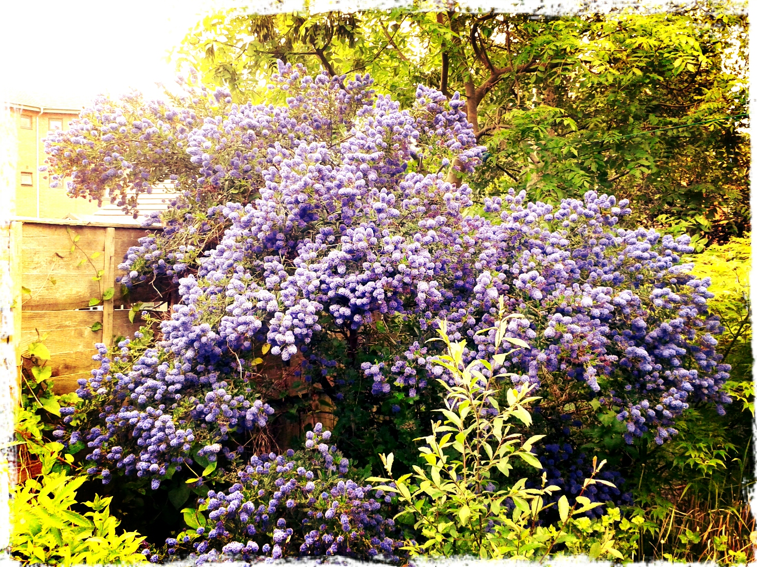
My Ceanothus in full bloom. I worry that its weight may topple the non-too strong trunk. If so, it would fall into the pond. It needs a stake.

Canal commute.

19°C, light wind and clear sky.
I rode Jake with MapMyRide+! Distance: 16.5mi, time: 01:19:18, pace: 4:48min/mi, speed: 12.5mi/h.
http://mapmyride.com/workout/994624185
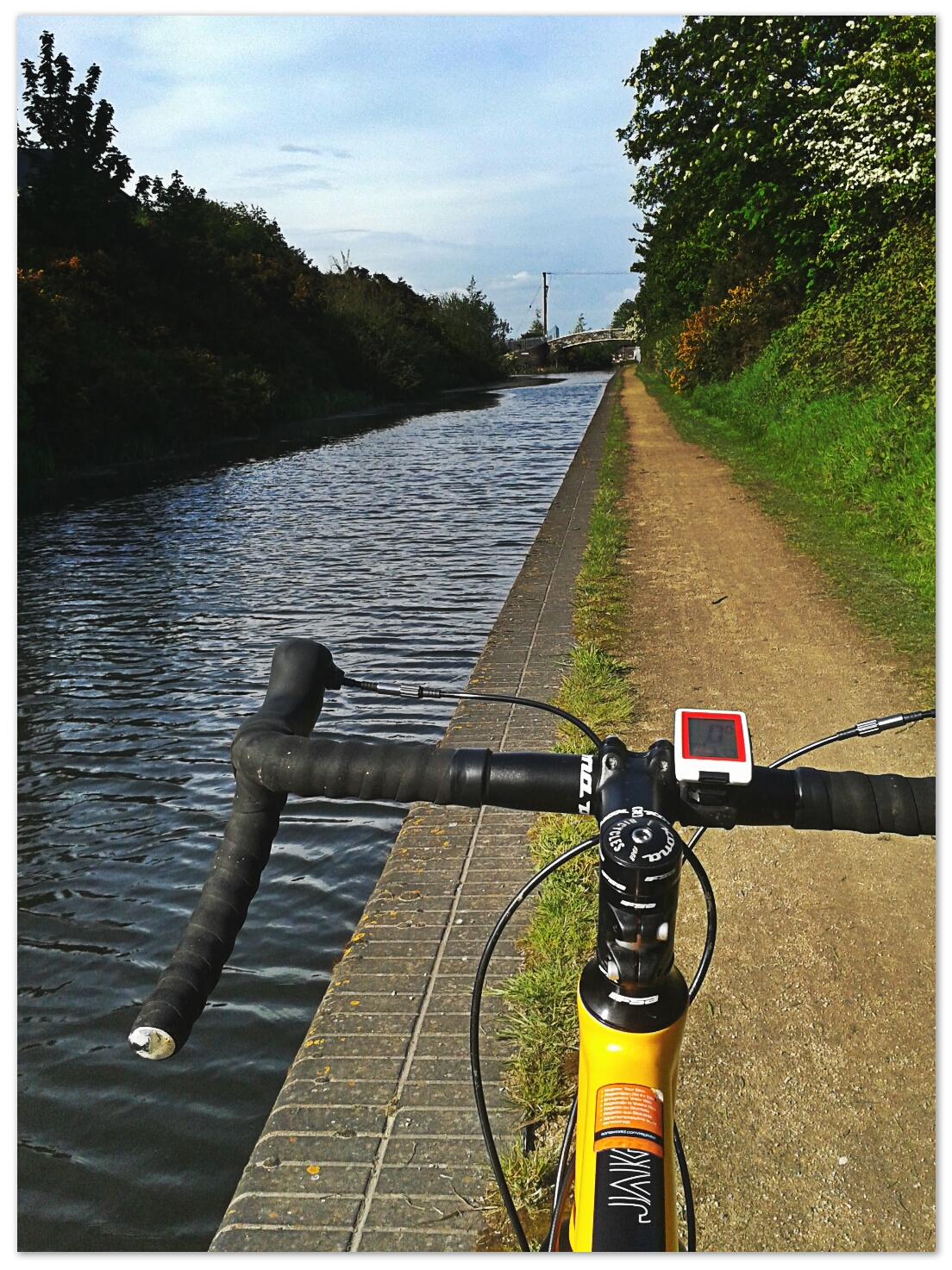
Rode Cyclocross on the commute today. I took the normal route in, but returned along the canal. It winds around and industrial estate and some rough housing. But in May, everything is lush, water lilies in the canal, a heron fishing and all sorts of water fowl. Perfect weather though I was over dressed.
It’s a shame the canal only gets 5 miles from home. There is one nearer, but it’s a large loop round.

image

The surfaces are better than other canals I use, wide and often ash covered.

Fixed 61

12°C, white cloud and one shower. Strong W.
I rode with MapMyRide+! Distance: 61.8mi, time: 04:26:08, pace: 4:18min/mi, speed: 13.9mi/h.
http://mapmyride.com/workout/988541573
Riding fixed in wind is not recommended. Wind is a weakness of single speed bikes, it turns the ride into a long steady climb up a hill. That hill can easily be ten miles long. The trick is to choose a route that crosses the wind direction as much as possible.
Speaking of hills, I got up Bannister Hill again, also after Dalton.
image
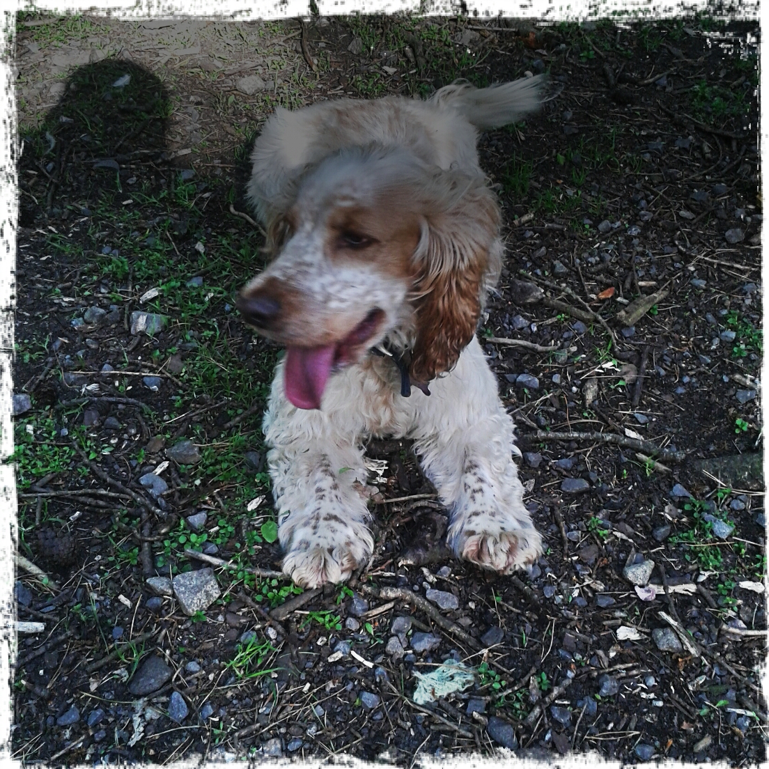
Joey in the woods.

Plas-y-Brenin 3

13°C, brisk SW, sunny and cloud building later.
Great conditions, though the wind is strong with attendant wind-chill. Bright sun that needs sun-block.

image

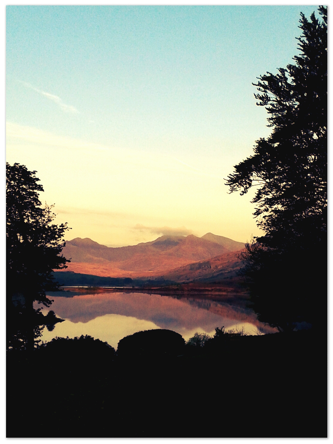
Photo: very early sun on the Snowdon Horseshoe.
Today’s route we planned ourselves.
Our route started in a wooded horseshoe valley on the edge of the Molwynion. Out of the trees, we walked in strong sunshine and strong wind. I need to re-think clothing for these days, perhaps a thin windproof and gilet combination.
Navigation used subtle amounts features which honed our techniques. I got the feeling that Helen, the instructor, was becoming confident in us. Sometimes she passed over checking my position, but I knew where we were.
On return to the bus, I was feeling the cumulative lack of sleep. Debrief was rousing for me though. I am thrilled by the prospect of 20 more Quality Hill days and some at night. It was even suggested that I consider Mountain Leader Award.
note for future reference: I packed 2 1/2 litres of water and drank 2/3 of it. The backpack weighed 20 kilos (a 40 litre bag). Now I have a water filter, I should be able to pack a 60 litre bag at the same weight.

Plas-y-Brenin 2

11°C, brisk NE, rain set in all day.

image

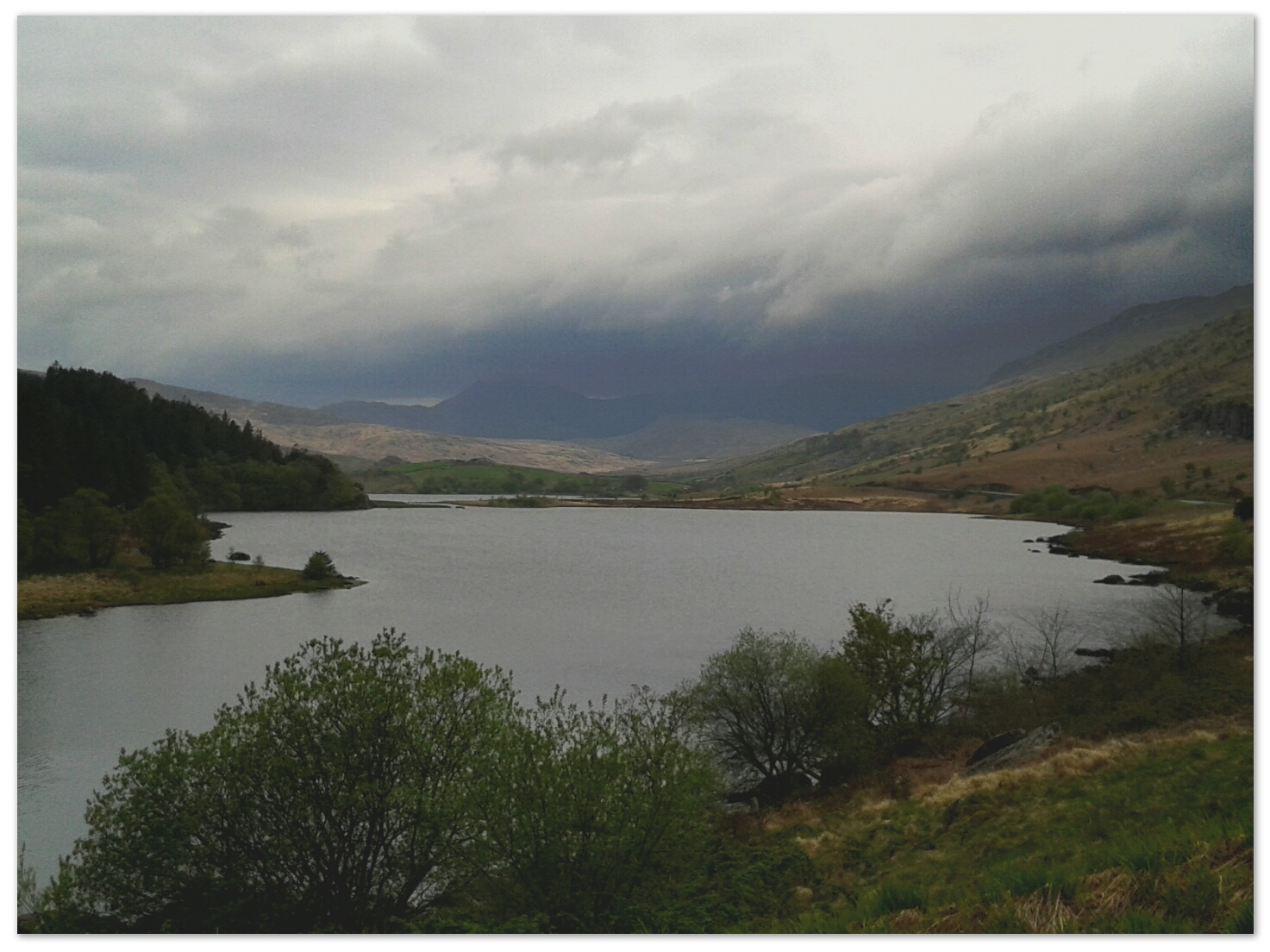
Day Two, trying not to feel like a cheat, I have walked in this area before. It’s that forgotten region between the Arenig and Ffestiniog.
Although light rain and reduced visibility dominated the day, we used the time to read the land and match with contours. Each of the six of us were given a short leg and others had to identify where we got to. Points of interest were pre-industrial settlements or simply, contour rings.
Lunch at a shooting hut.
A very good day with Mike, an expert on the local wildlife. We found outcrops of pyroclastic flows. Also there was evidence of the woodland character that is suppressed by sheep farming there.

7am canal ride.

11°C, brisk SW and grey cloud. Dry.
I rode Jake with MapMyRide+! Distance: 17.8mi, time: 01:39:10, pace: 5:35min/mi, speed: 10.76mi/h.
http://mapmyride.com/workout/977307793
Started early, 7am start and saw few people. The return via Chorley was hillier that I remember but there were no surprise traffic on the narrow twisty lanes.

Mapmyride has strange bugs. If I change the ride type to cyclocross, then the GPS fails to work, change it back to Road Cycling and it’s back to normal. Even changing the ride type after my return voids the mapping. I will hold out for an update.
home:
image
Another tree felled. I have enjoyed this cherry every spring, it put a magnificent show in flower and the colour glowed against the morning sun. Now it has gone and I am bereft, I hate to see a healthy tree cut down.